 Image 1 of 2

 Image 2 of 2


Reminiscence, Mount Sonder (Limited Edition - Larapinta Light Collection)
Mount Sonder is the fourth highest mountain in the NT (1380m), and marks the end of the long Larapinta Trail (231km).
Following the trail from Alice Springs brings Sonder’s unique outline closer and closer, the mountain a comforting sight and a sort of encouragement at having walked so far! I could first make out the shape of Sonder from the high point of Count’s Point (hike day 11, for me). From then on, the trail’s end point seemed to arrive quickly - the final mountain became suddenly more imposing at the end of every day. A sad reminder that there was an endpoint of this experience.
Mount Sonder in this image was photographed from a highpoint a couple of days walk from the end - my final mountain top camp of the hike. Without doubt, a highlight of the Larapinta Trail is pitching a tent on the top of these rugged, red mountains. With open views for miles, sitting in silence reflecting on a rewarding day’s hike evokes a huge appreciation for the landscape and experience as a whole. Sunsets and sunrises, the landscape bathed in a red outback glow.
This image to me, is more than a recognisable Central Australian mountain scene. It’s a perfect summary of the Larapinta Trail experience. The last view of Mount Sonder before ascending the final summit. A last chance to say goodbye to the spectacular view I’d been chasing for the last 20 days. A chance to reminisce on the experience, the highs, lows and unexpected beauty the Central Australian landscape has given. Bathed in a rich, red glow the sunrise light hitting the mountain’s western face was one final magical morning of many.
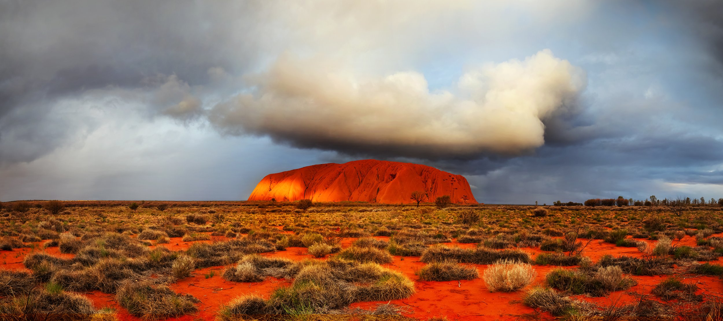
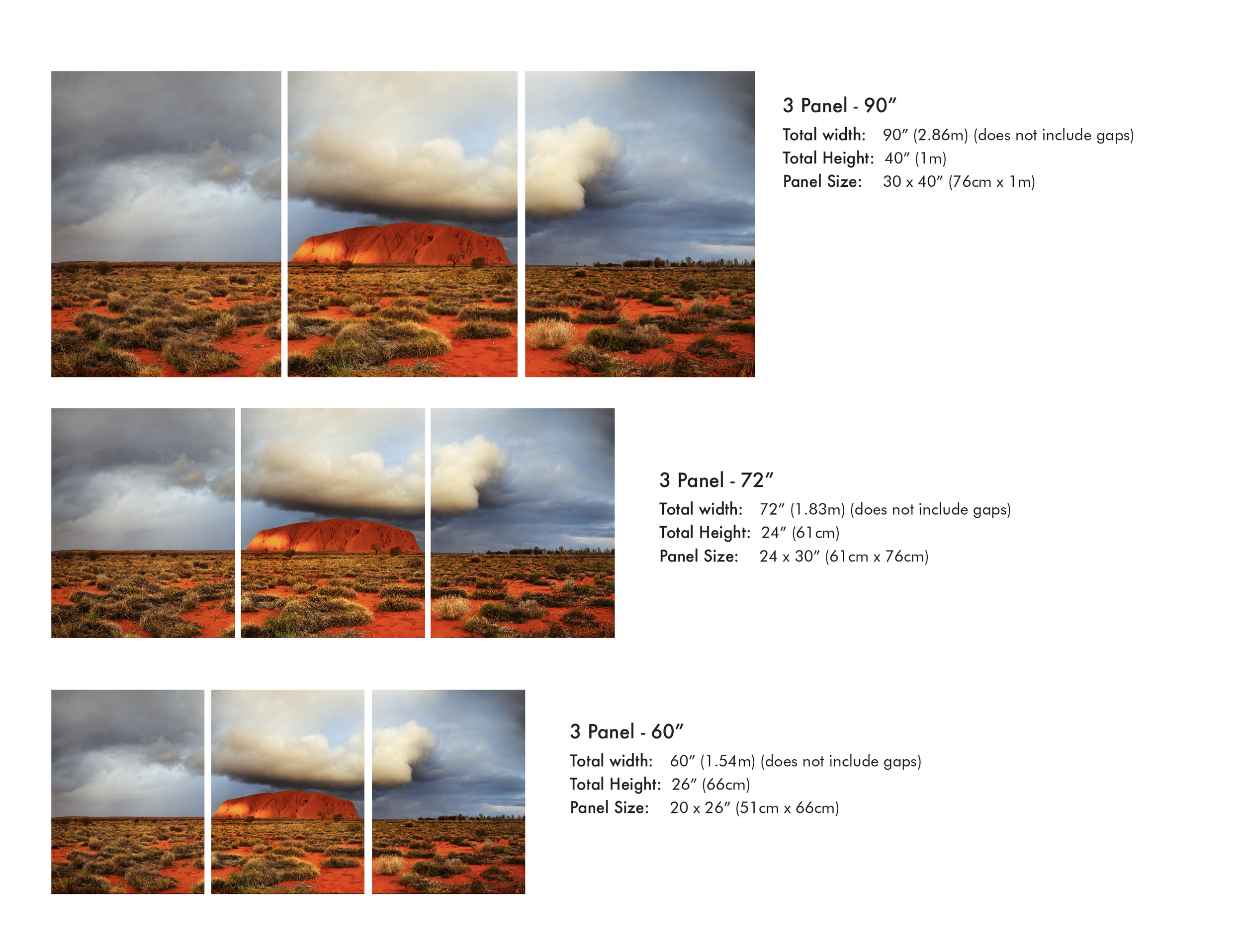
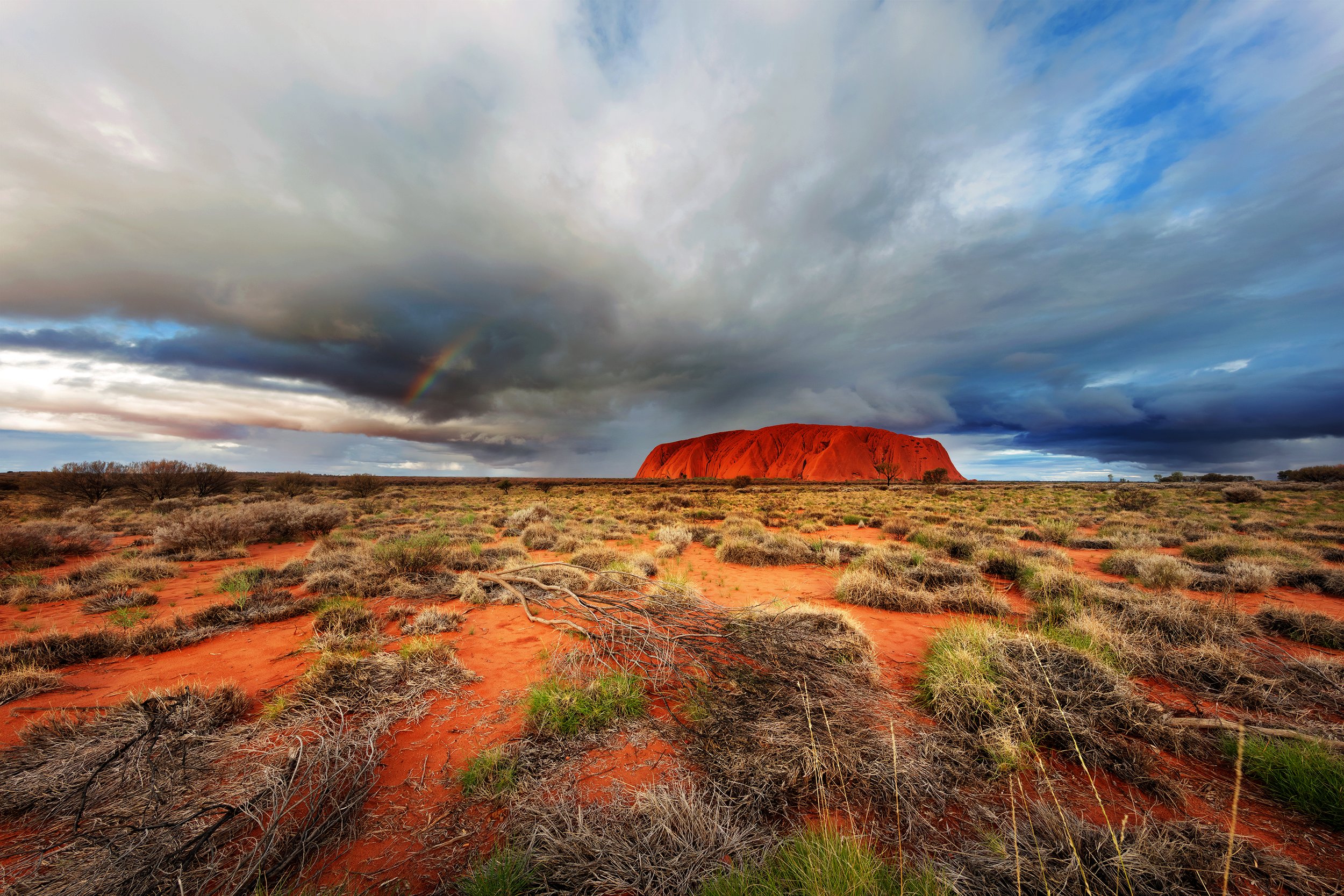
Limited to 20 editions as part of the “Larapinta Light” Collection - An Adventure through the West MacDonnell Ranges & Beyond. Appreciating the open desert landscapes of Central Australia, including Uluru Kata Tjuta, the Larapinta Trail and West MacDonnell Ranges. A uniquely Australian landscape full of surprises!


